Here are some pictures from our September 2017 trip to Banff and the Canadian Rockies.
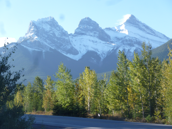
The Rockies are very different from the White Mountains that we're used to. Instead of rounded granite summits, the Rockies are folded and thrusted layers of sedimentary rock, eroded by glaciers into sharp peaks. Up in Canada, there are still active glaciers in the high valleys. What's more, with effectively no foothills on the east side, you can see the peaks easily, like these "Three Sisters" peaks viewed from the road in front of the condo we rented.

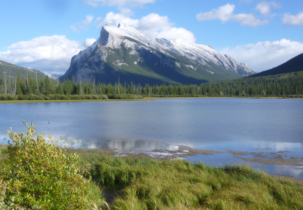
The mountains were raised up by other plates bashing into west end of the North American plate. The pressure caused fractures and folding in the existing rock layers. If the layers are thick and rigid, large sections get pushed on top of each other, leaving the layers fairly flat. But if the layers aren't as strong, you get lots of fractures and the layers slant up over each other. There are some great examples of those slanted thrust fault mountains near the town of Banff, like Mount Rundle..
Lake Louise is one of the most famous sites in the park, a glacial lake in a high valley with the amazing turquoise color from the fine rock flour ground off by the glaciers. (Notice that the rock layers here are pretty horizontal.)
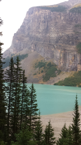
The lake is fed from the Victoria glacier farther up the valley. (The Chateau Lake Louise is a huge Victorian hotel at the other end of the lake; look it up on the web if you're interested.)
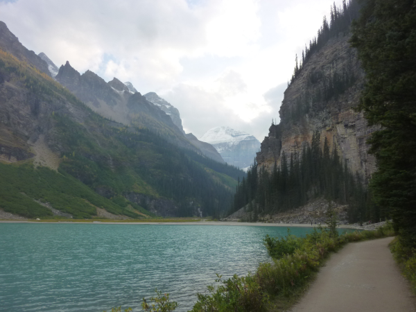
As you climb up the valley, you can look back and see the lake in the distance.
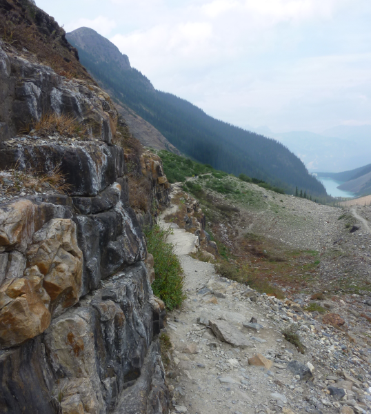
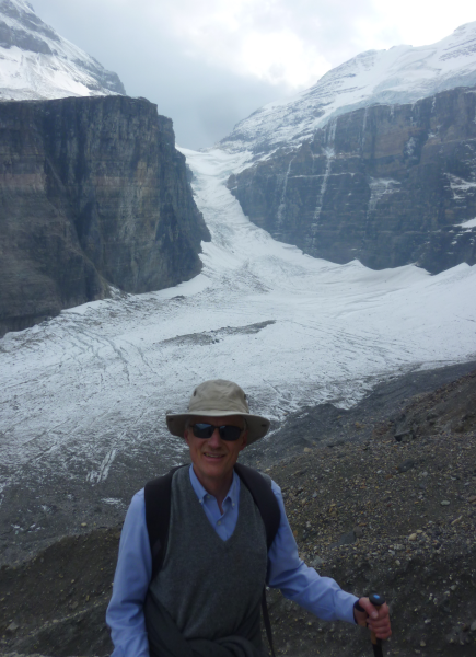
At the end of the trail, you can see the Victoria glacier across the valley.
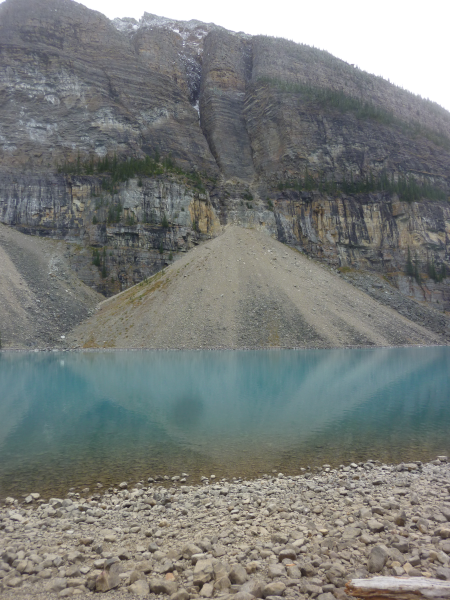
The other famous glacial lake in the park, and our favorite, is Moraine Lake, in a valley rimmed by 10 sharp peaks.
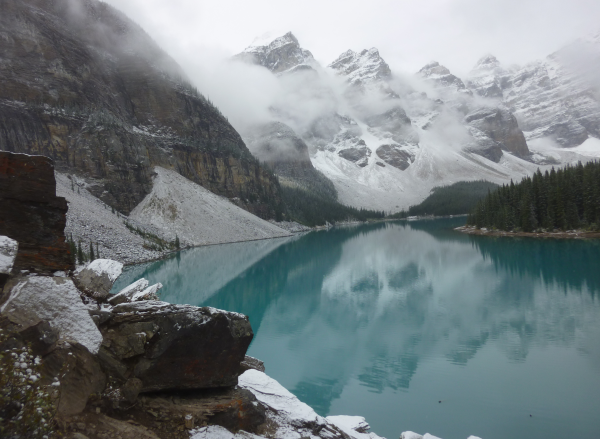
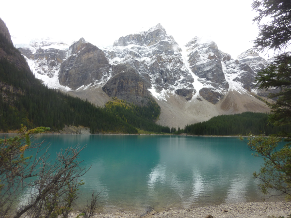
The talus piles on the far side of the lake give an idea of how much rock the erosion is removing.
As you start climbing up from Moraine Lake to Larch Valley, you catch startling glimpses of the lake through the trees.
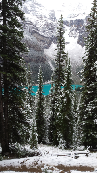
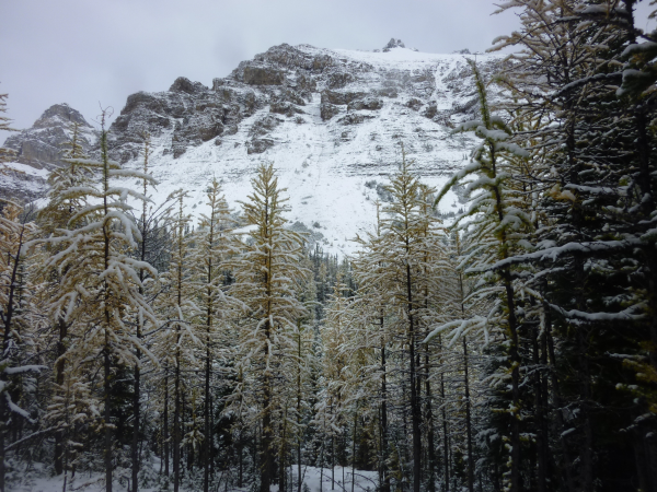
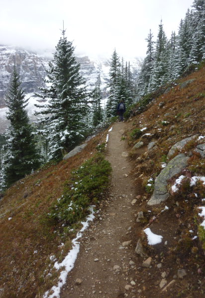
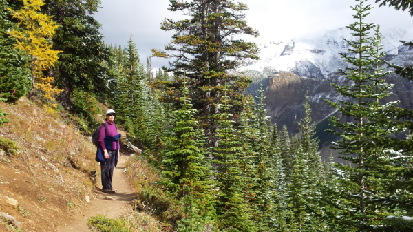
The larches in Larch Valley are conifers but deciduous, so in the fall, their needles turn golden, a magical effect. It had snowed a bit the day before, as you can see on the paths and branches.
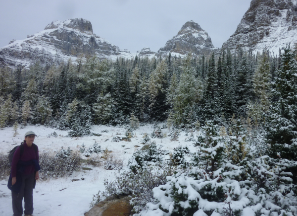
A trail off the Larch Valley trail goes up a side valley to Eiffel Lake. The lake isn't much, but the trail is wonderful.
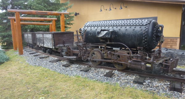
Banff National Park includes the towns of Banff and Lake Louise, but the apartment that we rented for the week was in the town of Canmore, just south of the park. Canmore was a coal mining town. They've still got one of the narrow-gauge engines that pulled the coal cars up from the mines, running on compressed air in order to reduce the risk of explosions.
Present-day Canmore is the most hiking-friendly town we've ever seen. Both sides of each branch of the Bow River (that runs down the valley through Banff and Canmore) have hiking trails, with frequent bridges back and forth, and with trail map signs at every intersection.
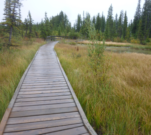
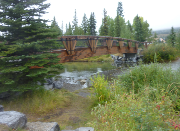
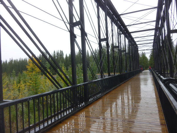
They reused a truss from the old coal train for one of the bridges.
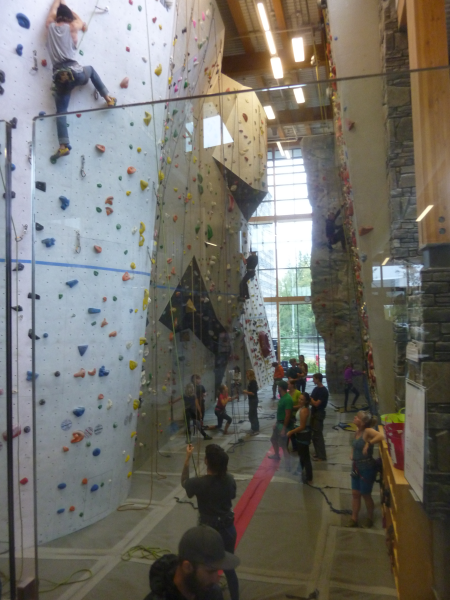
Their town center building, which houses the public library, also includes an active climbing wall.
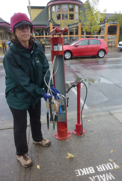
Canmore is also very bike friendly, with bike repair stations on the main street.
Banff was also a mining town originally, but what really put it on the map was the hot springs that were found near there when a couple prospectors saw steam coming out of a cave, climbed down, and found hot water. It turns out that that whole slope is full of hot springs, where water that percolates down through cracks toward the west warms up to the boiling point and then is pushed up the slanted lines of the thrust faulting. White, heat-tolerant algae grow in the springs.
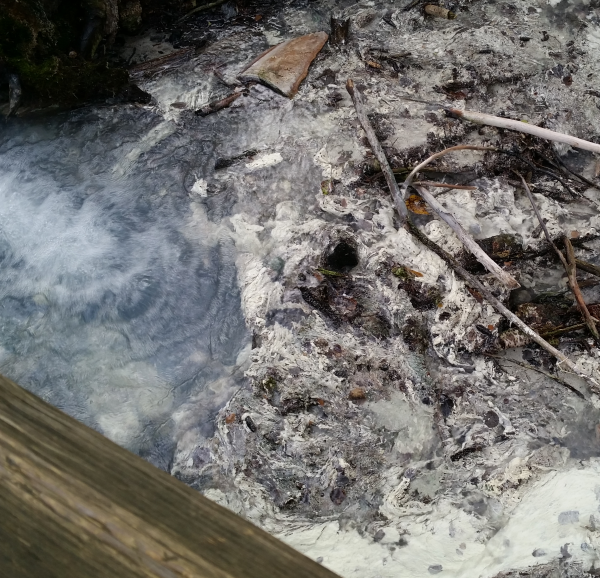
At the foot of the slope, the waters run into a marsh in a bay of the Bow River, warming the water up to tropical temperatures. In the 1960's, some folks thought it would be neat to see how their released aquarium fish would do there. They did fine, which was unfortunate for the native fish that had adapted to that micro-climate.
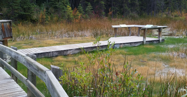
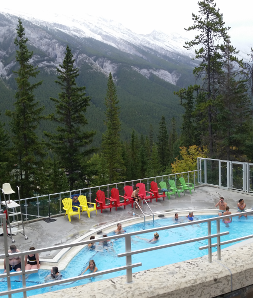
Back in Victorian times, a large bath house was built right where the hot springs were first found, but it has since been shut down to try to protect the area. A more recent bath house has been built just above Banff where another outlet was found, with hotter water.
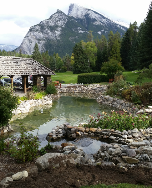
Parks Canada started in Banff, since the hot springs were the first Canadian national park, and they have some beatiful gardens on the hillside behind their headquarteres building.
Not too long ago in geological terms, the Bow River near Banff got blocked by a new moraine, and cut a new path on the other side of Tunnel Mountain. (That name comes because the original surveyor for the Canadian Pacific Railroad thought they'd have to build a tunnel through that mountain. They didn't, but the name stuck.) There are still some waterfalls along this new course of the Bow River, though throughout the rest of the valley, it's had time to smooth out a wide path of sand and gravel.
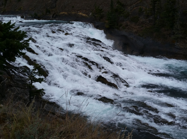
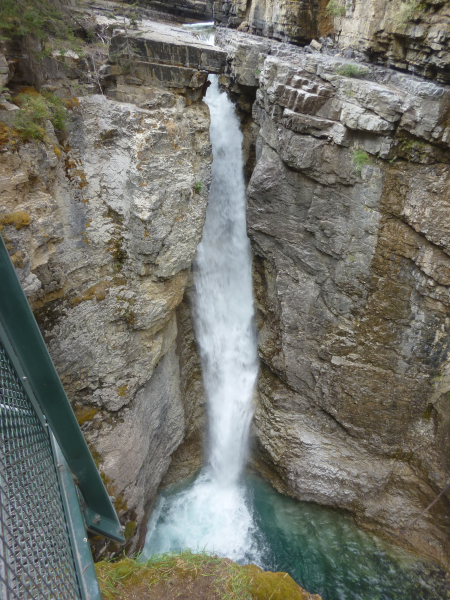
Glacial streams flowing through sedimentary rocks have cut many spectacular canyons. Johnston Canyon is one of the most famous, with a steel walkway fastened to the canyon wall.
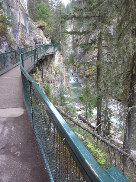
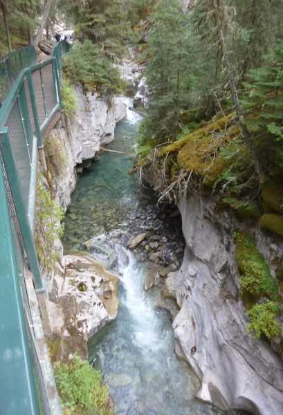
There are a couple of large waterfalls.
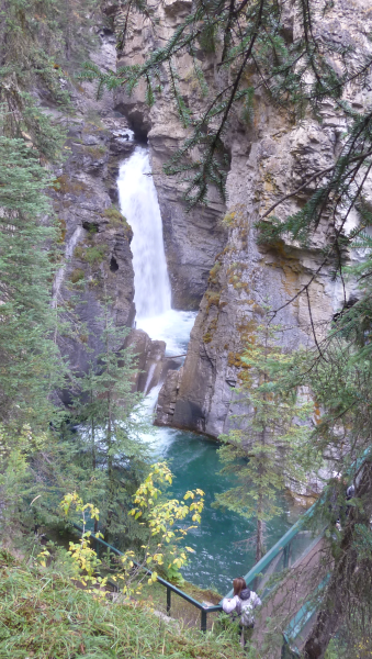
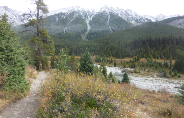
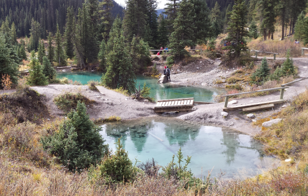
The trail continues up from there to a very pleasant valley with "Ink Pots", pools fed by cold springs with water that picks up mineral colors from the rocks.
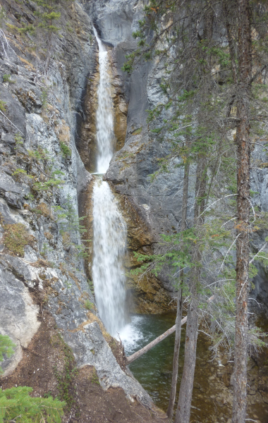
A nearby short trail leads to Silverton Falls, named after a town that only existed for a couple of years. There's never been enough silver in the area to be worth mining, but a clever entrepeneur back in gold rush days figured he could make a killing by putting out the word that there was.
Just across the Continental Divide into British Columbia, Marble Canyon is one where the stream found a pre-existing fault, and so has been able to cut down very deeply.
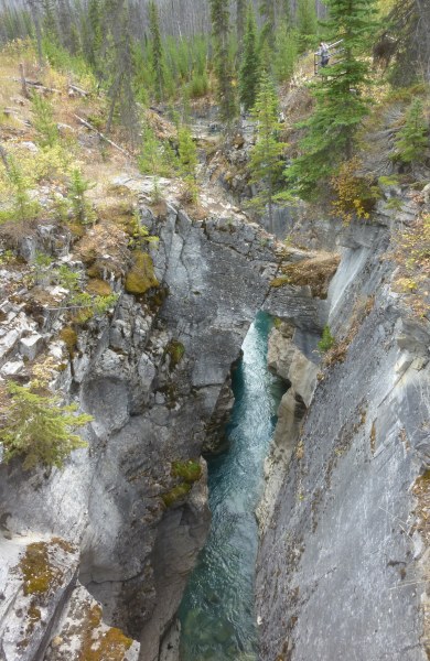
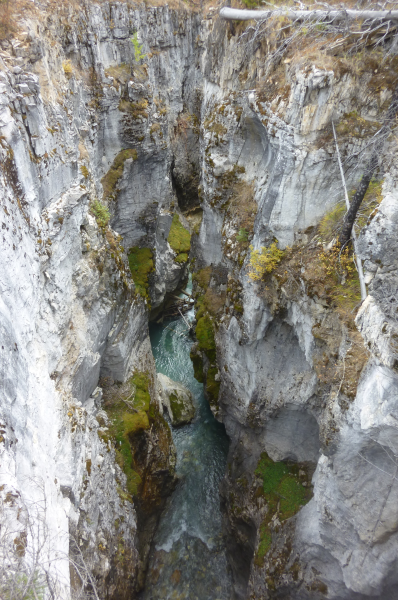
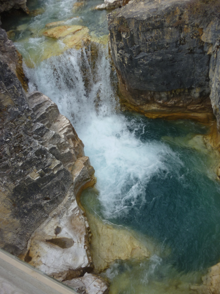
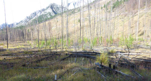
The Marble Canyon area burned in a lightning-caused fire in 2003, and the lodgepole pines are now filling in around the burned snags.
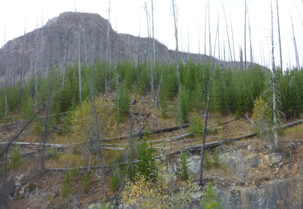
The natural sequence is fire, meadow, lodgepole pines (whose cones only open in the heat of the fire, and which only last about 100 years), and then a climax forest of spruce and fir. As one guide put it, "Smokey *loves* forest fires", since berries grow best in the meadows. After artificially suppressing fires for many years, the Park is now doing prescribed burns, this one more recent than the Marble Canyon fire.
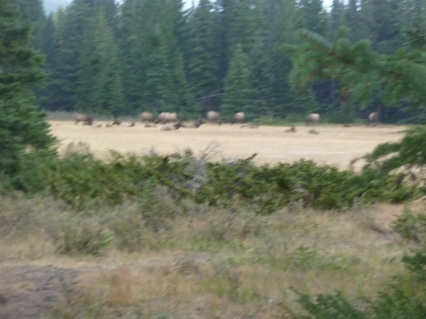
Speaking of bears, the Parks Canada folks are working hard to preserve the natural wildlife while also encouraging tourists, even though bears and elk can be dangerous, especially when surprised by hikers. So hikers are encouraged to travel in large groups and to talk and sing while hiking, which feels weird. They also recommend carrying cans of bear spray, a concentrated pepper spray that can disorient a charging bear as a last resort. We never saw any bears, but we did retrace our steps early one morning when the stream-side meadow that we were hiking through turned out to be occupied by an elk herd, with a bull who wasn't interested in visitors. The picture is out of focus, but gives the general idea.
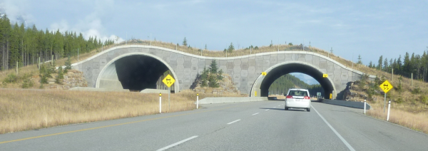
The Trans-Canada highway runs right through the park up the Bow River valley, with a serious bear fence on both sides to protect the wildlife from the cars, but with periodic over and under passes to let the wildlife get across.
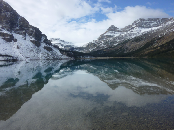
North of Banff National Park is Jasper National Park, where there are still serious glaciers. On the drive up, you pass many beautiful glacial lakes, including Bow Lake, fed by Bow Glacier, the headwaters of the Bow River.
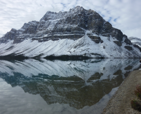
A bit further north in Jasper, the Columbia icefield is in a high valley right on the Continental Divide that is filled with glacial ice. Glaciers spill over all around its borders, feeding rivers that eventually end up in the Atlantic, Pacific, and Arctic oceans. The Athabasca Glacier comes down toward the east, easily accessible from the highway.
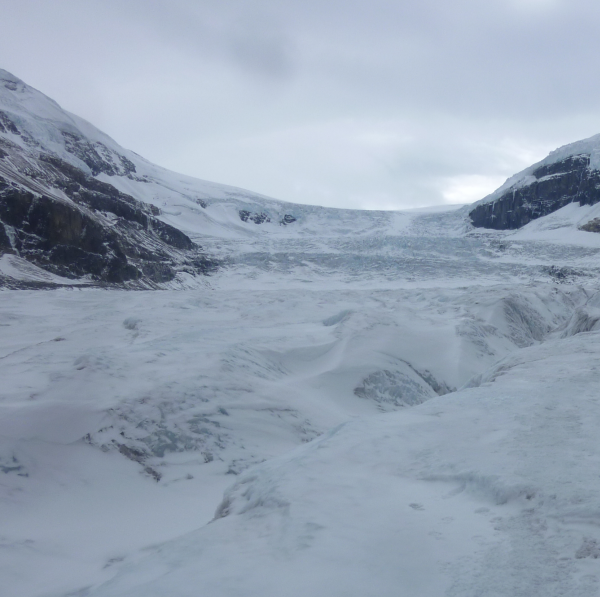
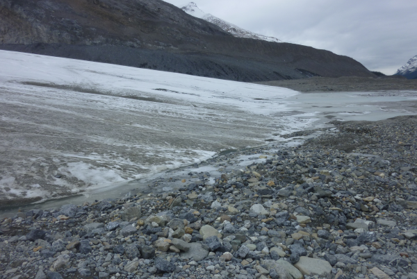
As you approach the glacier, you can see where outcrops of bedrock poking through the lateral moraine along the side of the glacial valley have been polished smooth by the glacier.
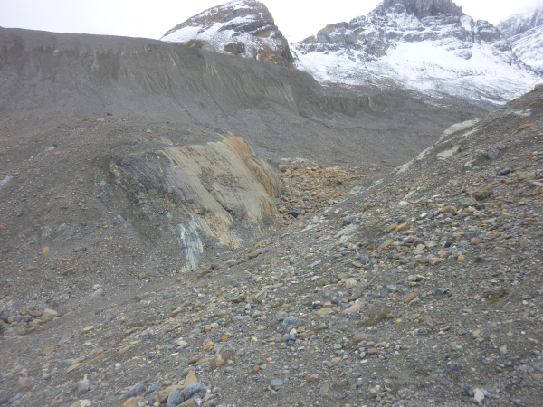
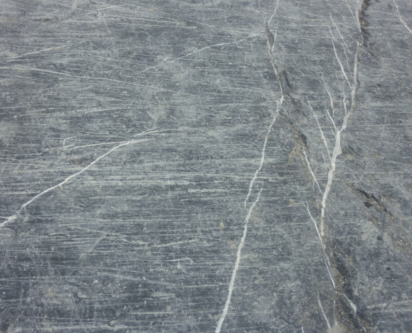
Where the floor of the valley is bedrock, you can see fresh striations, the scratches that rocks carried by the glacier made in the bedrock just a few years ago.
With a guide, we hiked up the tongue of the glacier. It's retreating up the valley year by year, of course. There are signs on the road and trail showing where it was in 2000, 1990, etc.
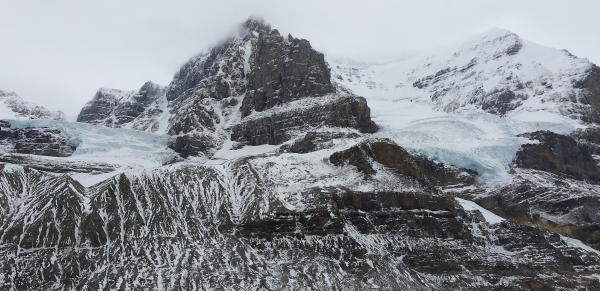
Looking sideways from the glacier, you can see smaller glaciers in hanging valleys.
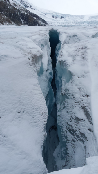
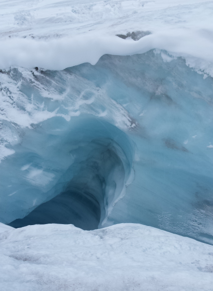
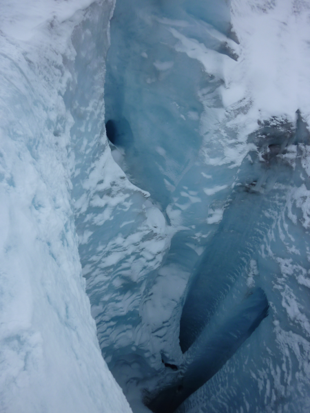
The biggest surprise, for those of us new to glaciers, is that the glacier is riddled with water channels that are filled with rushing water during warm summer days, though they were mostly frozen when we were there. Where the streams break the surface, you see crevasses with water-carved whorls. With gravel-filled rivers winding through the glacier, it's easier to understand how we get the meandering esker hills that we see here in Massachusetts.
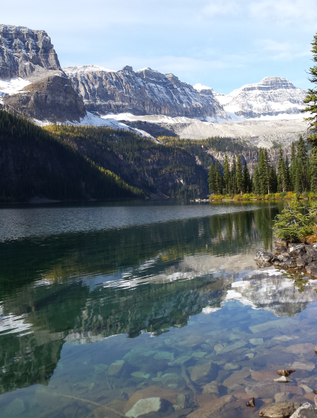
We'll end with Boom Lake, a quiet glacial lake that we hiked up to one day. The Canadian Rockies are certainly a beautiful area.
Back to ramshaw.info home page
Updated 2017-09-30